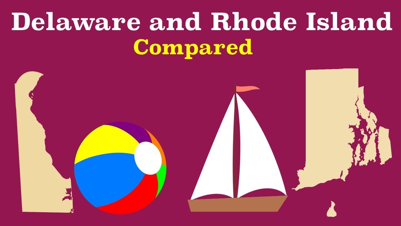
Introduction: Rhode Island and Delaware Size Comparison
When it comes to comparing the sizes of different states in the United States, Rhode Island and Delaware often find themselves in the spotlight. These two states, located on the East Coast, are known for their historical significance and unique characteristics. One common question that arises is whether Rhode Island is smaller than Delaware. In this article, we will delve into the geographic extent of Rhode Island and Delaware, their land areas, and their total areas to determine the answer to this question.
Understanding Rhode Island’s Geographic Extent
Rhode Island, also known as the Ocean State, is located in the New England region of the United States. Geographically, it is the smallest state in the country. Rhode Island is bordered by Connecticut to the west and Massachusetts to the north and east. Its southern border is formed by the Atlantic Ocean. Despite its small size, Rhode Island has a rich history and is home to various iconic landmarks.
Analyzing Delaware’s Geographic Extent
Delaware, on the other hand, is located in the Mid-Atlantic region of the United States. It is the second smallest state in terms of land area, after Rhode Island. Delaware is bordered by Maryland to the west and south, as well as New Jersey to the northeast. Its eastern border is formed by the Delaware Bay and the Atlantic Ocean. Despite its small size, Delaware boasts a diverse landscape and a thriving economy.
Comparing Rhode Island and Delaware’s Land Area
When comparing the land areas of Rhode Island and Delaware, it becomes evident that Rhode Island is indeed smaller. Rhode Island spans approximately 1,034 square miles, making it the smallest state in terms of land area. On the other hand, Delaware covers around 1,949 square miles, making it slightly larger than Rhode Island.
Rhode Island’s Land Area: Facts and Figures
Rhode Island’s land area of 1,034 square miles is divided into five counties: Providence, Kent, Washington, Newport, and Bristol. Providence County, the largest county in Rhode Island, covers a significant portion of the state’s land area. Despite its small size, Rhode Island has a diverse topography, with rolling hills, coastal plains, and numerous bays and inlets.
Delaware’s Land Area: Facts and Figures
Delaware’s land area of 1,949 square miles is divided into three counties: New Castle, Kent, and Sussex. New Castle County, the northernmost county, is the most populous and urbanized, while Sussex County in the south is more rural and known for its agricultural activities. Delaware’s topography consists of flat coastal plains, with a few low-lying hills in the northern part of the state.
Examining Rhode Island and Delaware’s Total Area
To gain a comprehensive understanding of the sizes of Rhode Island and Delaware, it is important to consider their total areas, which include both land and water. While land area provides insight into the physical extent of a state, total area accounts for any water bodies within its boundaries. By examining the total areas, we can ascertain a more accurate comparison.
Rhode Island’s Total Area: Facts and Figures
Rhode Island’s total area is approximately 1,545 square miles. This includes both its land area of 1,034 square miles and its water area of 511 square miles. With a significant portion of its total area being water, Rhode Island’s coastal communities and maritime industries play a vital role in its economy and culture.
Delaware’s Total Area: Facts and Figures
Delaware’s total area is approximately 2,489 square miles. This includes its land area of 1,949 square miles and its water area of 540 square miles. With a larger total area compared to Rhode Island, Delaware benefits from its diverse waterways, including the Delaware River and the Delaware Bay, which contribute to its flourishing shipping and fishing industries.
Conclusion: Rhode Island vs Delaware Size Comparison
In conclusion, Rhode Island is indeed smaller than Delaware in terms of both land area and total area. Rhode Island spans approximately 1,034 square miles of land, while Delaware covers around 1,949 square miles. When considering the total area, which includes both land and water, Rhode Island’s total area is approximately 1,545 square miles, while Delaware’s total area is around 2,489 square miles.
The Impact of Size on Rhode Island and Delaware
Despite their relatively small sizes, both Rhode Island and Delaware have distinctive characteristics and play significant roles in the United States. Their compact sizes have allowed for efficient governance and the development of close-knit communities. Additionally, the smaller land areas have contributed to the preservation of natural landscapes and the concentration of economic activities.
Further Considerations: Rhode Island and Delaware Geography
While the size comparison between Rhode Island and Delaware provides valuable insights, it is important to remember that size is not the sole determinant of a state’s significance or potential. Both Rhode Island and Delaware possess unique geographical features, historical legacies, and vibrant communities that contribute to their individual identities. Exploring their geography in more detail reveals the diverse landscapes, ecosystems, and cultural heritage that make each state truly remarkable.