
Introduction: Exploring the seismic activity in Rhode Island
Rhode Island, often referred to as the "Ocean State," may not be the first place that comes to mind when thinking about earthquakes. However, seismic activity is not exclusive to regions known for their geological instability. This article aims to delve into the occurrence of earthquakes in Rhode Island, shedding light on the state’s geological context, historical earthquake events, seismic monitoring techniques, fault lines, frequency and magnitude of earthquakes, earthquake preparedness, the state’s vulnerability, public response and awareness, and the future of earthquake research in Rhode Island.
Rhode Island’s geological context: Uncovering the state’s tectonic plates
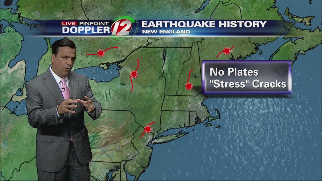
Rhode Island lies within the New England region, which is located on the eastern coast of the United States. Geologically, the state is situated on the North American Plate, which predominantly extends over most of the continent. However, the tectonic complexity of the region is not limited to a single plate. To the east of Rhode Island, the Mid-Atlantic Ridge marks the boundary between the North American Plate and the Eurasian Plate, forming the Atlantic Ocean. While Rhode Island is not located on any major plate boundary, the region does experience seismic activity due to its proximity to other tectonic features.
Understanding earthquakes: Defining the characteristics and causes
In simple terms, an earthquake refers to the shaking of the Earth’s surface caused by the sudden release of energy in the Earth’s crust. This release of energy occurs due to the movement of tectonic plates, which are large sections of the Earth’s surface. Most earthquakes result from the interaction of these plates along faults, which are fractures in the Earth’s crust. The majority of earthquakes occur near plate boundaries, where the forces generated by plate movements are the strongest. However, earthquakes can also occur in regions located within plates, such as Rhode Island, due to other geological factors.
Historical perspective: Recall of past earthquakes in Rhode Island
Rhode Island has experienced a few noteworthy earthquakes throughout its history. One of the most significant events occurred on April 20, 1871, and had an estimated magnitude of 5.4. This earthquake caused damage to buildings and was felt throughout the state, as well as in neighboring Connecticut and Massachusetts. Another notable earthquake occurred on June 11, 1940, with a magnitude of 5.6. This event resulted in noticeable shaking and minor damage, primarily in the Newport and Providence areas. Although earthquakes in Rhode Island are relatively infrequent, these historical events demonstrate that the state is not immune to seismic activity.
Seismic monitoring in Rhode Island: Tools and techniques employed
To monitor earthquakes in Rhode Island, the state relies on a network of seismometers strategically placed throughout the region. These instruments measure ground motion caused by seismic waves and transmit the data to monitoring centers. The Rhode Island Department of Environmental Management, in collaboration with the University of Rhode Island, operates several seismographic stations. This network allows researchers to detect and record earthquakes accurately, providing valuable data for further analysis and study.
The Richter scale: Gauging earthquake intensity and magnitude
When discussing earthquakes, it is common to refer to their intensity and magnitude. The intensity of an earthquake refers to the effects and damage it causes, while the magnitude quantifies the energy released. The Richter scale is commonly used to measure earthquake magnitude. This logarithmic scale ranges from 0 to above 9. Each whole number increase on the Richter scale corresponds to a tenfold increase in the amplitude of ground motion and about 31.6 times more energy release. While Rhode Island has not experienced major earthquakes with high magnitudes, smaller events can still be detected and measured accurately using the Richter scale.
Examining fault lines: Are there active faults in Rhode Island?
While Rhode Island does not have any known active faults, it does have a complex geological history. The region has undergone significant tectonic activity in the past, leading to the formation of faults that are now considered inactive. These inactive faults result from the compression and extension of the Earth’s crust over millions of years. Although these faults are not currently active, they provide insights into the geological processes that have shaped Rhode Island’s landscape.
Frequency and magnitude: Analyzing the seismicity of Rhode Island
Rhode Island experiences relatively low seismicity compared to more seismically active regions. The frequency of earthquakes in the state is generally low, with only occasional small to moderate events occurring. These earthquakes typically have magnitudes ranging from 2 to 4, which are considered minor to light. The infrequency and relatively low magnitudes of earthquakes in Rhode Island contribute to the perception that the state is not prone to significant seismic hazards. However, it is important to remain vigilant and prepared, as earthquakes can still occur and cause damage, even at lower magnitudes.
Earthquake preparedness: Measures to mitigate potential risks
Although Rhode Island may have a lower risk of earthquakes compared to other regions, it is still essential for residents and authorities to be prepared. Awareness and education regarding earthquake safety are key components of preparedness. Individuals should know how to protect themselves during an earthquake, including finding safe places indoors and practicing drop, cover, and hold on techniques. Additionally, building codes and regulations should be updated to ensure structures can withstand potential earthquakes. Emergency response plans should also be in place to handle any potential aftermaths effectively.
Rhode Island’s vulnerability: Assessing the state’s seismic hazards
While Rhode Island may not experience frequent or large earthquakes, the state is not entirely free from seismic hazards. The proximity of the New England region to the Mid-Atlantic Ridge and other tectonic features means that the potential for seismic activity exists. Moreover, the state’s dense urban areas, such as Providence, could be more susceptible to damage and disruption in the event of an earthquake. Therefore, it is crucial for both individuals and government agencies to remain aware of the potential risks and take appropriate measures to mitigate them.
Public response and awareness: Educating Rhode Island residents
To enhance public response and awareness of earthquakes, efforts should be made to educate Rhode Island residents about seismic hazards and preparedness. This can be achieved through various means, such as public information campaigns, school programs, and community drills. Collaboration between government agencies, educational institutions, and the public can help disseminate accurate and up-to-date information about earthquakes and ensure that individuals are well-informed and prepared to respond in the event of an earthquake.
Conclusion: The future of earthquake research in Rhode Island
While earthquakes may not be as prevalent in Rhode Island compared to other regions, it is essential to continue studying and researching seismic activity in the state. Advancements in technology and monitoring techniques enable more accurate and comprehensive data collection. This data can aid in understanding the state’s geological processes, identifying potential seismic hazards, and improving earthquake preparedness measures. By investing in earthquake research, Rhode Island can ensure the safety and well-being of its residents and minimize the potential impact of future seismic events.


