Introduction to Rhode Island’s size
Rhode Island, the smallest state in the United States, is known for its compact and unique size. Despite its small stature, this state has a lot to offer. From its picturesque coastline to its vibrant cities, Rhode Island has a rich history and culture that attracts tourists from near and far. In this article, we will explore the various aspects of Rhode Island’s size and dimensions, shedding light on its geographical boundaries, land area, topography, and more.
Geographical boundaries of Rhode Island
Rhode Island is located in the New England region of the United States and is bordered by Connecticut to the west and Massachusetts to the north and east. To the south, it is flanked by the Atlantic Ocean. Despite its small size, Rhode Island manages to maintain a distinct identity within this cluster of states.
Rhode Island’s total area in square miles
With a total area of approximately 1,214 square miles, Rhode Island may be the smallest state, but it certainly packs a punch. Despite its diminutive size, it manages to squeeze in a wealth of attractions, both natural and man-made, within its boundaries.
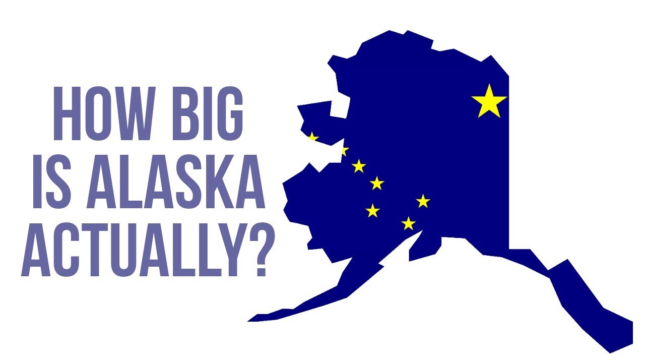
Comparing Rhode Island’s size to other states
To put Rhode Island’s size into perspective, it is worth comparing it to other states. For example, Alaska, the largest state in the US, is approximately 663,300 square miles, making it more than 500 times larger than Rhode Island. While Alaska’s vastness is awe-inspiring, Rhode Island’s compactness has its own charm, allowing visitors to easily explore all it has to offer.
Understanding Rhode Island’s land area
When we speak of Rhode Island’s land area, we refer to the portion of the state that is not covered by water. In this case, Rhode Island has a land area of about 1,034 square miles. This includes forests, parks, residential areas, and farmland, all contributing to the state’s unique character.
Rhode Island’s coastline length in miles
Rhode Island boasts a stunning coastline that stretches approximately 400 miles. This coastline not only provides breathtaking views but also offers opportunities for various recreational activities, such as swimming, boating, and fishing. The coastline is dotted with picturesque lighthouses, charming fishing villages, and sandy beaches that attract both locals and tourists.
Estimating Rhode Island’s length and width
While Rhode Island may be small in terms of area, its length and width are of interest when considering its shape. The state measures about 48 miles from north to south and approximately 37 miles from east to west. This elongated shape contributes to its diverse geography, which includes rolling hills, flat coastal plains, and shallow bays.
Rhode Island’s topography and physical features
Rhode Island’s topography is characterized by a mix of lowlands, hills, and fertile valleys. The northern part of the state is mountainous, with the highest point being Jerimoth Hill, which stands at 812 feet above sea level. The southern region, on the other hand, consists of rolling hills and coastal plains. This diverse topography provides a stunning backdrop for outdoor activities and scenic drives.
Exploring Rhode Island’s lakes and rivers
Though small, Rhode Island is not lacking in bodies of water. The state is home to numerous lakes and rivers, such as the Scituate Reservoir, the largest body of freshwater in the state. Additionally, the Blackstone River, Pawtuxet River, and Woonasquatucket River are important waterways that have played a significant role in the state’s history and development.
Rhode Island’s proximity to neighboring states
One advantage of Rhode Island’s compact size is its proximity to its neighboring states. With Connecticut and Massachusetts bordering the state, residents and visitors can easily explore nearby attractions and cities. This makes Rhode Island an ideal base for day trips and weekend getaways, allowing individuals to experience a variety of landscapes and cultural offerings within a short distance.
Rhode Island’s population density and land use
Given its small size, it comes as no surprise that Rhode Island has a relatively high population density. With over a million residents, the state has a population density of around 1,021 people per square mile. This high population density is reflected in the state’s land use, with a mix of residential, commercial, and agricultural areas catering to the needs of its inhabitants.
Significance of Rhode Island’s compact size
While some may view Rhode Island’s size as a limitation, it is, in fact, one of its greatest assets. With its small size, Rhode Island is able to offer a unique blend of history, culture, and natural beauty within a small geographic area. Visitors can easily explore the state’s various attractions without spending excessive time traveling. Additionally, Rhode Island’s compactness fosters a sense of community and allows for a more interconnected society, where residents can easily access amenities and engage in social activities.
In conclusion, Rhode Island’s size may be small, but its impact is significant. From its diverse topography and picturesque coastline to its rich history and vibrant cities, this compact state offers an abundance of attractions. Rhode Island’s unique character, closely linked to its size, sets it apart and makes it a destination worth exploring.