
Introduction: Rhode Island and Flooding
Rhode Island, the smallest state in the United States, is located in the New England region on the east coast. Despite its size, Rhode Island is no stranger to the challenges posed by flooding. Being surrounded by water and having numerous rivers flowing through its landscape, the state is particularly susceptible to flooding events. This article explores the geographic characteristics of Rhode Island, climate patterns that contribute to flooding, historical flooding events, causes of flooding, vulnerability to coastal flooding, impact of river flooding, mitigation measures, floodplain management strategies, community preparedness, and the future outlook for climate change and flooding in Rhode Island.
Geographic Characteristics of Rhode Island
Rhode Island’s geography plays a significant role in its susceptibility to flooding. The state is characterized by numerous rivers, including the Blackstone, Pawtuxet, and Woonasquatucket, which all contribute to the state’s vulnerability. Furthermore, Rhode Island’s extensive coastline, stretching over 400 miles, exposes the state to the risk of coastal flooding during severe storms and hurricanes. The low-lying topography of Rhode Island also exacerbates the impact of flooding, as water easily accumulates in these flat areas.
Climate Patterns in Rhode Island
Rhode Island experiences a humid continental climate, with warm summers and cold winters. This climate pattern contributes to the state’s susceptibility to flooding, as heavy rainfall during the summer months can lead to overwhelmed drainage systems and increased water levels in rivers and streams. Additionally, Rhode Island is occasionally affected by tropical storms and hurricanes, which can bring intense rainfall and storm surge, further elevating the risk of flooding.
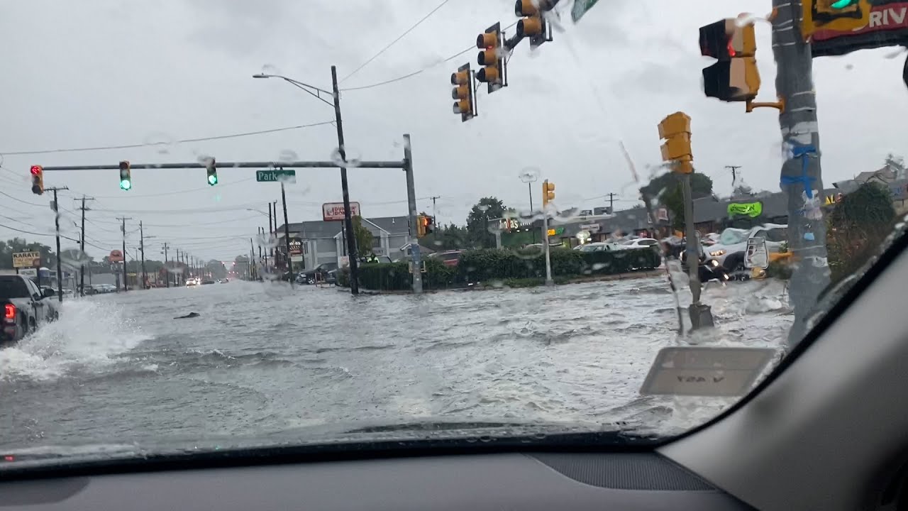
Historical Flooding Events in Rhode Island
Rhode Island has a long history of flooding events that have caused significant damage and disruption. One notable event occurred in 2010 when heavy rainfall caused severe flooding across the state, impacting both urban and rural areas. This event resulted in extensive property damage and forced many residents to evacuate. Another significant flooding event occurred in 1938 when the Great New England Hurricane struck Rhode Island, leading to widespread devastation and loss of life.
Causes of Flooding in Rhode Island
Several factors contribute to flooding in Rhode Island. Heavy rainfall, especially during summer thunderstorms and tropical storms, can overwhelm the state’s drainage systems and cause rivers and streams to overflow their banks. The state’s low-lying topography exacerbates these effects, as water naturally accumulates in flat areas. Additionally, the state’s aging infrastructure, such as outdated culverts and stormwater management systems, can contribute to increased flooding risks.
Rhode Island’s Vulnerability to Coastal Flooding
Rhode Island’s extensive coastline exposes the state to the risk of coastal flooding. As sea levels rise due to climate change, the state’s coastal communities face increased vulnerability to storm surge during severe weather events. Coastal flooding not only damages infrastructure and property but also poses a threat to public safety. Furthermore, erosion caused by coastal flooding can lead to the loss of valuable coastal habitats and exacerbate the impact of future flooding events.
Impact of River Flooding in Rhode Island
River flooding in Rhode Island can have significant consequences for both urban and rural areas. During periods of heavy rainfall, rivers and streams can overflow, damaging homes, businesses, and critical infrastructure. River flooding can also lead to the displacement of residents, disruptions to transportation systems, and contamination of water supplies. Additionally, river flooding can cause soil erosion and damage to agricultural lands, affecting the state’s economy and food production.
Measures to Mitigate Flooding in Rhode Island
Rhode Island has implemented various measures to mitigate the impact of flooding. These measures include upgrading and maintaining drainage systems, improving stormwater management practices, and constructing flood control structures such as levees and floodwalls. The state also focuses on enhancing forecasting and warning systems to provide timely information to residents and emergency management agencies. Additionally, Rhode Island encourages the use of nature-based solutions, such as wetland restoration and floodplain preservation, to reduce the impact of flooding.
Rhode Island’s Floodplain Management Strategies
To minimize the risk of flooding, Rhode Island has adopted floodplain management strategies. These strategies involve implementing zoning regulations that restrict development in flood-prone areas and require new construction to meet specific flood-resistant standards. The state also conducts floodplain mapping to identify areas at high risk of flooding. By integrating these strategies, Rhode Island aims to reduce property damage and protect lives in flood-prone areas.
Community Preparedness for Flooding in Rhode Island
Rhode Island recognizes the importance of community preparedness in minimizing the impact of flooding. The state promotes public awareness campaigns to educate residents about flood risks and the actions they can take to protect themselves and their properties. This includes developing emergency preparedness plans, assembling emergency supply kits, and staying informed about weather forecasts and flood warnings. Additionally, Rhode Island encourages communities to establish local flood response teams and conduct regular drills to ensure a coordinated and efficient response during flooding events.
Future Outlook: Climate Change and Flooding in Rhode Island
The future outlook for flooding in Rhode Island is closely tied to the impacts of climate change. As sea levels rise and extreme weather events become more frequent and intense, the state is expected to face increased flooding risks. Community resilience and adaptive measures will be crucial in mitigating these risks. Rhode Island continues to invest in research, infrastructure upgrades, and policy development to address the challenges posed by climate change and ensure the state’s ongoing battle with flooding.
Conclusion: Rhode Island’s Ongoing Battle with Flooding
Rhode Island’s susceptibility to flooding is a result of its geographic characteristics, climate patterns, and historical events. River and coastal flooding pose significant risks to both urban and rural areas, impacting infrastructure, property, and public safety. However, the state has implemented various measures to mitigate flooding, including upgrading infrastructure, implementing floodplain management strategies, and promoting community preparedness. Despite these efforts, the future outlook suggests that Rhode Island will continue to face challenges due to climate change. The ongoing battle with flooding requires a comprehensive and collaborative approach, with a focus on resilience, adaptation, and continued investment in flood control measures.


