
Introduction: Size comparison of Massachusetts, Connecticut, and Rhode Island
Massachusetts, Connecticut, and Rhode Island are three states located in the New England region of the United States. While they may appear similar in size on a map, there are notable differences in their land areas and population densities. This article provides an overview of the geography, land area, population, and density of these three states, allowing for a comprehensive understanding of their size comparisons.
Geographical Overview of Massachusetts
Massachusetts, also known as the Bay State, is located in the northeastern part of the United States. It is bordered by Connecticut and Rhode Island to the south, New Hampshire and Vermont to the north, and New York to the west. The state has a diverse geography, including coastal plains, rolling hills, and mountain ranges. Additionally, Cape Cod, a popular tourist destination, extends into the Atlantic Ocean from the southeastern part of the state.
Geographical Overview of Connecticut
Connecticut, often referred to as the Constitution State, is situated in the southernmost part of New England. It shares borders with Massachusetts to the north, Rhode Island to the east, New York to the west, and Long Island Sound to the south. Connecticut features a mix of coastal areas, river valleys, and small mountains. The state is also home to the Housatonic and Connecticut Rivers, which contribute to its picturesque landscapes.
Geographical Overview of Rhode Island
Rhode Island, the smallest state in the United States, is located in the New England region. It is bordered by Massachusetts to the north and east, and Connecticut to the west. Rhode Island has a unique geography, consisting of a mainland and several islands, the largest of which is Aquidneck Island. The state boasts beautiful coastal areas, including the renowned Narragansett Bay, making it a popular destination for beachgoers.
Understanding the Land Area of Massachusetts
Massachusetts covers an area of approximately 10,554 square miles. Its diverse topography includes 1,500 miles of coastline, making it the seventh smallest state in the country. Despite its relatively small size, Massachusetts is densely populated, with a population of over 6.9 million people. This high population density is mainly concentrated in the eastern part of the state, particularly in the Greater Boston metropolitan area.
Understanding the Land Area of Connecticut
Connecticut spans across an area of around 5,543 square miles, making it the third smallest state in the U.S. Despite its small size, Connecticut has a population of over 3.5 million people. Similar to Massachusetts, the state has a high population density, especially in urban areas such as Hartford and Bridgeport. Despite its small land area, Connecticut is known for its scenic landscapes and beautiful countryside.
Understanding the Land Area of Rhode Island
Rhode Island, the smallest state in the U.S., covers approximately 1,034 square miles. It is even smaller than some cities in other states. Despite its diminutive size, Rhode Island has a population of around 1.1 million people. The state’s population density is the second-highest in the country, surpassed only by New Jersey. Rhode Island’s small land area allows for easy travel between various cities and towns within the state.
Population and Density: Massachusetts
Massachusetts is the most populous of the three states, with a population of over 6.9 million people. This translates to a population density of about 840 residents per square mile. The state’s population is concentrated in urban areas such as Boston, Worcester, and Springfield. However, there are also several rural regions, particularly in the western part of the state, where the population density is lower.
Population and Density: Connecticut
Connecticut has a population of over 3.5 million people, making it the second most populous state among the three. The population density is approximately 626 residents per square mile. Like Massachusetts, Connecticut’s population is concentrated in urban areas, including Hartford, Bridgeport, and New Haven. The state also has some rural regions, particularly in the northwestern part, where the population density is lower.
Population and Density: Rhode Island
Rhode Island has a population of around 1.1 million people, making it the least populous of the three states. However, despite its small population, Rhode Island has the second-highest population density in the country, with approximately 1,050 residents per square mile. The state’s population is primarily concentrated in the Providence metropolitan area and other urban centers such as Warwick and Cranston.
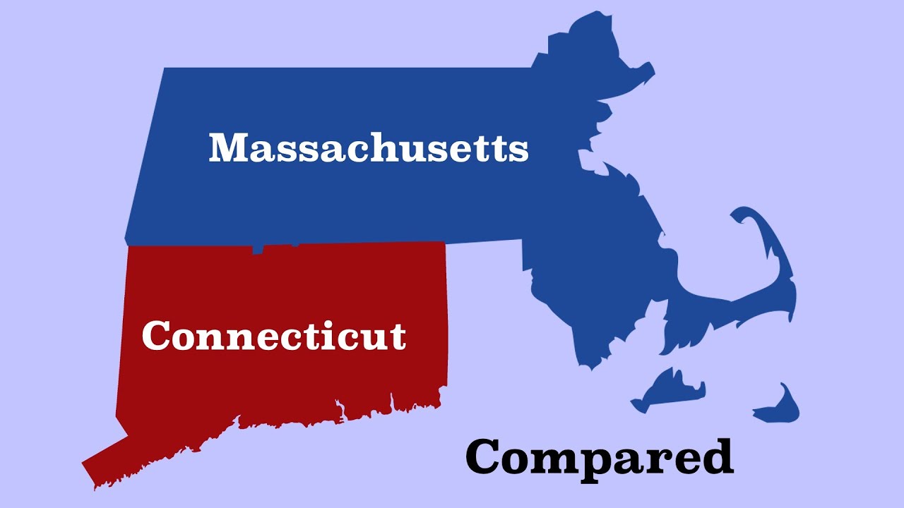
Size Comparison: Massachusetts vs. Connecticut
When comparing the land areas of Massachusetts and Connecticut, Massachusetts is significantly larger. Massachusetts covers an area of approximately 10,554 square miles, whereas Connecticut spans about 5,543 square miles. This makes Massachusetts nearly twice the size of Connecticut. However, Connecticut’s population density is slightly higher than that of Massachusetts, with 626 residents per square mile compared to Massachusetts’ 840 per square mile.
Size Comparison: Massachusetts vs. Rhode Island
Massachusetts and Rhode Island differ greatly in terms of both land area and population. While Massachusetts covers approximately 10,554 square miles, Rhode Island is significantly smaller, spanning only 1,034 square miles. Massachusetts has a population of over 6.9 million people, while Rhode Island’s population is around 1.1 million. Despite its small size, Rhode Island has the highest population density of the three states, with 1,050 residents per square mile, compared to Massachusetts’ 840 per square mile.
In conclusion, Massachusetts, Connecticut, and Rhode Island may share a geographical region, but they differ significantly in terms of land area, population, and density. Massachusetts is the largest state among the three, both in terms of size and population, while Rhode Island is the smallest but has the highest population density. Connecticut falls in between, with a smaller land area but a relatively high population density. Understanding these size comparisons provides valuable insights into the unique characteristics of each of these New England states.


