Understanding the Timing of High Tide
High tide refers to the point in the tidal cycle where the water level reaches its maximum height. In Rhode Island, the timing of high tide is an important factor for coastal residents, businesses, and recreational activities. Understanding the timing of high tide is crucial for various activities such as boating, fishing, and beachgoing. This article will explore the factors affecting high tide in Rhode Island and how to estimate high tide times.
Factors Affecting High Tide in Rhode Island
Several factors influence the timing of high tide in Rhode Island. The primary factor is the gravitational pull exerted by the Moon and the Sun on Earth. Other factors include the Earth’s rotation, coastal geomorphology, and local weather conditions. These factors interact to create the complex and dynamic pattern of tides along the Rhode Island coastline.
The Influence of the Moon on Tides
The Moon plays a significant role in determining the timing of high tide in Rhode Island. The gravitational force exerted by the Moon causes the water on Earth’s surface to bulge, leading to a rise in sea level. The Moon’s gravitational pull is strongest on the side of the Earth facing the Moon, creating a high tide. As the Earth rotates, different locations experience high tide at different times.
The Role of the Sun in Tidal Patterns
Although the Moon has a more significant influence on tides, the Sun also contributes to the tidal patterns in Rhode Island. The gravitational force of the Sun also affects the water level, causing additional bulges in the ocean. When the Sun, Moon, and Earth align, the combined gravitational forces result in higher high tides, known as spring tides. During the Moon’s first and third quarters, the Sun and Moon are at right angles to each other, leading to lower high tides, known as neap tides.
How the Earth’s Rotation Impacts Tides
The Earth’s rotation plays a crucial role in the timing of high tide in Rhode Island. As the Earth rotates, different points on the coastline move through the tidal cycle. This movement, combined with the gravitational forces of the Moon and the Sun, leads to a shifting pattern of high and low tides. The time between successive high tides, known as the tidal period, averages around 12 hours and 25 minutes in Rhode Island.
Estimating High Tide Times in Rhode Island
To estimate high tide times in Rhode Island, various methods are used. Tide tables and tidal prediction charts provide information on the expected time and height of high tides for specific locations. These predictions take into account the gravitational forces of the Moon and the Sun, as well as local factors such as coastal geomorphology. It is important to note that these predictions are estimates, and actual tide levels can be influenced by factors such as wind and atmospheric pressure.
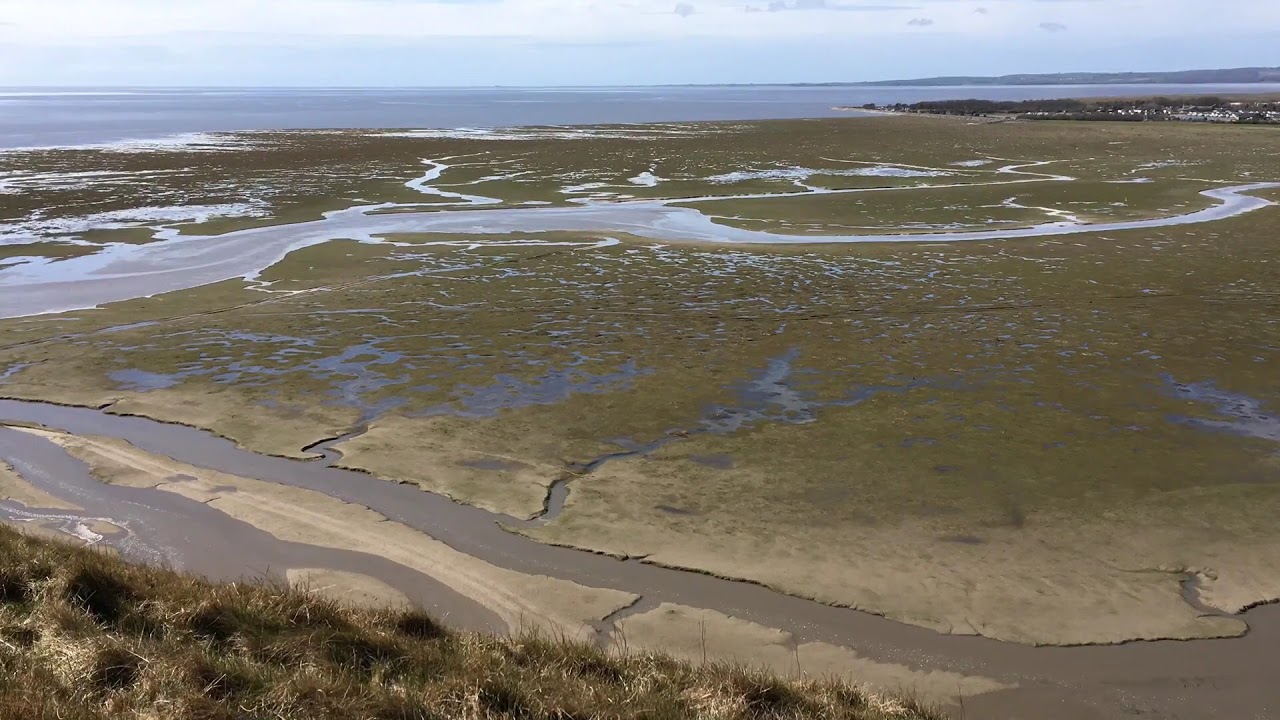
The Importance of Coastal Geomorphology
Coastal geomorphology, or the shape and features of the coastline, affects the timing of high tide in Rhode Island. The configuration of the coastline, including the presence of bays, inlets, and estuaries, can amplify or dampen the tidal range. Narrow coastal features, such as channels or coves, can result in higher tidal currents and localized variations in high tide times. Understanding the coastal geomorphology is crucial for accurate tidal predictions.
Tidal Predictions for Rhode Island
Various organizations, such as the National Oceanic and Atmospheric Administration (NOAA) and local research institutions, provide tidal predictions for Rhode Island. These predictions are based on historical data, mathematical models, and real-time observations. They offer valuable information regarding the expected timing and height of high tides at specific locations along the Rhode Island coastline. Tidal predictions enable individuals and organizations to plan their activities accordingly and ensure safety.
Key Tools for Monitoring Tidal Changes
To monitor tidal changes and provide accurate predictions, several tools are utilized in Rhode Island. Coastal tide gauges measure the water level, providing real-time data for monitoring tides. Satellite altimetry and radar sensors enable the collection of tidal information on a larger scale. Additionally, computer models and numerical simulations help scientists and researchers understand the complex interactions between various factors affecting high tide.
Mapping the Timing of High Tide in RI
Mapping the timing of high tide in Rhode Island is essential for coastal management and planning purposes. Geographic Information Systems (GIS) are used to map and analyze the spatial distribution of high tide times along the coastline. This information helps identify areas prone to high tide flooding and assists in the development of coastal protection strategies. Mapping the timing of high tide also aids in the safe navigation of vessels and the management of coastal ecosystems.
Implications of High Tide Variations
High tide variations in Rhode Island have several implications for coastal communities. Higher high tides, combined with storm events, can lead to coastal flooding and erosion. Infrastructure, properties, and ecosystems along the coast are vulnerable to these impacts. Understanding the variations in high tide patterns is crucial for adaptive planning, including the construction of coastal defenses, land-use regulations, and emergency response strategies.
Planning Activities Around High Tide in Rhode Island
Given the importance of high tide timing in Rhode Island, individuals and organizations should consider planning their activities around these tidal variations. For coastal recreational activities such as swimming or beachgoing, it is advisable to be aware of high tide times to avoid safety risks. Similarly, boaters and fishermen should plan their trips based on tidal predictions to ensure safe navigation and maximize their chances of success. By understanding and respecting the timing of high tide, Rhode Islanders can enjoy the coastal environment while minimizing potential risks.