
Introduction: Comparing the Size of New York City and Rhode Island
When it comes to comparing the size of cities and states, it is often interesting to analyze the differences and similarities in their land areas. In this article, we will delve into the comparison between New York City and Rhode Island. While one is a bustling metropolis and the other a small state, it is intriguing to uncover which one is larger in size.
Understanding the Geography of New York City
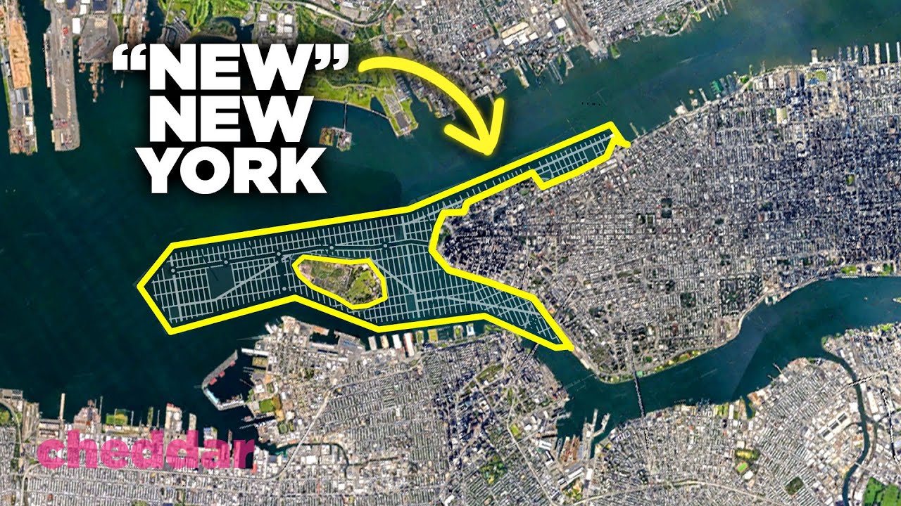
New York City, located in the state of New York, is a vibrant and culturally diverse city. It is situated in the northeastern part of the United States, on the southeastern tip of the state. New York City is built on a series of islands and is surrounded by water. It comprises five boroughs, including Manhattan, Brooklyn, Queens, The Bronx, and Staten Island.
Geographical Overview of Rhode Island
Rhode Island, on the other hand, is a small state nestled in the New England region of the United States. It is the smallest state in terms of land area. Rhode Island is bordered by Connecticut to the west, Massachusetts to the north and east, and the Atlantic Ocean to the south. Despite its small size, Rhode Island is known for its beautiful coastline and historical significance.
Assessing New York City’s Land Area
In terms of land area, New York City covers approximately 302.6 square miles (784 square kilometers). This includes the total area of all five boroughs. Manhattan, the most densely populated borough, covers only 22.7 square miles (59 square kilometers). Despite its relatively small size, Manhattan is famous for its iconic skyline and serves as the epicenter of finance, culture, and entertainment.
Rhode Island’s Land Area: Unveiling the Facts
Rhode Island, with its nickname "The Ocean State," spans across approximately 1,214 square miles (3,144 square kilometers). Although it is the smallest state in the United States, its land area is still significantly larger than that of New York City. Rhode Island encompasses various landscapes, including forests, rolling hills, and picturesque beaches.
Comparing the Population Density of New York City and Rhode Island
As expected, due to its larger land area, Rhode Island has a significantly lower population density compared to New York City. New York City’s population density is approximately 28,000 people per square mile (10,800 per square kilometer). In contrast, Rhode Island has a population density of approximately 1,022 people per square mile (394 per square kilometer). This stark difference is a result of the vast urban sprawl of New York City and the more rural nature of Rhode Island.
Analyzing New York City’s Vast Urban Landscape
New York City is renowned for its sprawling urban landscape. It is home to towering skyscrapers, bustling streets, and countless iconic landmarks. The cityscape of New York City stretches far and wide, with numerous neighborhoods and districts contributing to its vastness. From the iconic Times Square in Manhattan to the charming neighborhoods of Brooklyn, the city’s urban landscape is truly immense.
Rhode Island’s Urban Areas: A Closer Look
In contrast, Rhode Island has a much smaller urban landscape. While it does have some urban areas, such as the capital city of Providence, they are considerably smaller in comparison to New York City. Rhode Island has a more suburban and rural feel, with quaint towns and villages dotting the landscape. The state’s urban areas are characterized by their historical charm and walkable streets.
Examining New York City’s Boundaries and Extent
New York City, being situated on islands, has distinct boundaries. It is bounded by water on all sides, with the Hudson River to the west and the East River to the east. The city’s boundaries extend to the shores of neighboring states, such as New Jersey and the borough of Staten Island, which is connected to New Jersey via bridges. These geographical features contribute to the uniqueness and vastness of New York City.
Rhode Island’s Borders: A Comprehensive Examination
Rhode Island shares borders with two neighboring states, Connecticut and Massachusetts. The state’s western border is formed by the Connecticut River, while the eastern border is defined by the Blackstone River and the state line. The southern border is an extensive coastline along the Atlantic Ocean. These borders, while relatively small in comparison to other states, play a significant role in defining Rhode Island’s territory.
Conclusion: Which is Bigger – New York City or Rhode Island?
In conclusion, when comparing the size of New York City and Rhode Island, it is evident that Rhode Island is larger in terms of land area. While New York City may be an expansive and bustling metropolis, it covers only 302.6 square miles (784 square kilometers). In contrast, Rhode Island spans across approximately 1,214 square miles (3,144 square kilometers), making it significantly bigger than New York City.
Final Thoughts: The Significance of Size in Relation to New York City and Rhode Island
The size of a city or state plays a crucial role in its identity and influence. New York City’s vast urban landscape and high population density contribute to its global prominence and economic power. On the other hand, Rhode Island’s larger land area, although smaller in population, allows for a more relaxed and rural lifestyle. Both New York City and Rhode Island have their unique charm, and the differences in their size only add to their individuality.


