
Introduction to Rhode Island’s Landforms
Rhode Island may be the smallest state in the United States, but it is not short on diverse and fascinating landforms. Located in the New England region, Rhode Island is known for its beautiful coastline, rolling hills, and picturesque islands. Its geology is a mix of ancient rocks, glacial deposits, and unique features formed by natural forces over millions of years. In this article, we will explore the prominent landforms that make Rhode Island a remarkable and diverse landscape.
Coastal Features of Rhode Island
Rhode Island’s coastline stretches approximately 400 miles, making it a prime location for stunning coastal features. The state boasts numerous sandy beaches, rocky cliffs, and charming seaside villages. Narragansett Bay, a large inlet of the Atlantic Ocean, dominates the coast and is home to several picturesque islands. The coastline also features lighthouses, including the iconic Point Judith Lighthouse and Beavertail Lighthouse, providing navigational aids to ships and enhancing the coastal scenery.
Glacial Deposits in Rhode Island
During the last ice age, glaciers covered a significant portion of Rhode Island, leaving behind unique glacial deposits. Moraines, which are mounds of debris and sediment, can be found throughout the state, particularly in the western region. Glacial erratics, large boulders transported by glaciers, are scattered across the landscape, adding a touch of natural artistry. These glacial deposits provide evidence of Rhode Island’s glacial past and contribute to the charm and geological diversity of the state.
Rhode Island’s Rivers and Lakes
Rhode Island is blessed with several rivers and lakes that contribute to its scenic beauty. The most prominent river is the Pawtuxet River, which flows through the center of the state. It offers opportunities for kayaking, canoeing, and fishing. Other significant rivers include the Blackstone, Woonasquatucket, and Sakonnet rivers. While Rhode Island is not known for its large lakes, there are several smaller ones, such as Scituate Reservoir and Johnson’s Pond, that provide recreational activities and serene views.
Mountains and Hills of Rhode Island
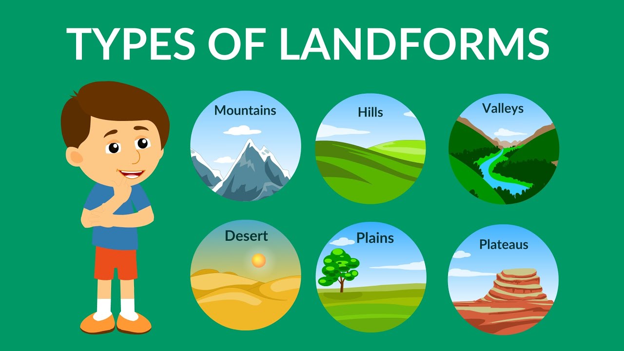
Although Rhode Island is not known for its towering mountains, it does have a range of hills that add character to its landscape. The state’s highest point is Jerimoth Hill, standing at a modest 812 feet. The northern region of Rhode Island, known as the Blackstone Valley, features rolling hills and scenic vistas. These hills are remnants of ancient mountain ranges that have eroded over time, but they still offer breathtaking views and opportunities for hiking and outdoor adventures.
Islands and Peninsulas in Rhode Island
Rhode Island is renowned for its charming islands and peninsulas, which provide unique landscapes and recreational opportunities. Block Island, located about 12 miles off the coast, is a popular tourist destination known for its untouched beaches, stunning bluffs, and preserved natural beauty. Aquidneck Island, home to Newport and its historic mansions, offers a mix of coastal charm and cultural attractions. Additionally, the state’s peninsulas, such as Conanicut and Prudence Islands, add further variety to Rhode Island’s landforms.
The Unique Narragansett Bay
Narragansett Bay is a defining feature of Rhode Island’s geography. This large estuary stretches across 147 square miles and provides vital habitat for a diverse range of plant and animal species. The bay is also an important economic resource, supporting fishing, tourism, and transportation. Its sheltered waters offer opportunities for boating, sailing, and other water-based activities. Narragansett Bay’s beauty and ecological significance make it one of the most prominent and cherished landforms in Rhode Island.
Salt Marshes and Estuaries in Rhode Island
Rhode Island’s coastline is dotted with extensive salt marshes and estuaries, which serve as critical habitats for various species of wildlife. These wetlands are characterized by the unique mix of saltwater and freshwater, creating a dynamic ecosystem that supports diverse plant and animal life. Places like the Ninigret National Wildlife Refuge and Sachuest Point National Wildlife Refuge offer opportunities for nature enthusiasts to observe migratory birds and explore the pristine marshland.
Expansive Forests of Rhode Island
Rhode Island may be small, but it is not lacking in forests. Approximately 50% of the state is covered in woodlands, making it a haven for nature lovers and outdoor enthusiasts. The Arcadia Management Area, located in the western part of the state, is the largest state-owned recreational area, providing ample opportunities for hiking, camping, and wildlife viewing. These forests are not only aesthetically pleasing but also play a crucial role in preserving the state’s biodiversity and enhancing its natural beauty.
Notable Caves and Sinkholes in Rhode Island
While Rhode Island is not known for its extensive cave systems, there are a few notable caves and sinkholes scattered throughout the state. The West Greenwich area is home to the Purgatory Chasm, a narrow, rocky gorge formed by glacial erosion. Visitors can explore this unique geological feature and marvel at the sheer rock walls. Sinkholes, which are natural depressions formed by the dissolution of soluble rocks, can also be found in Rhode Island, although they are relatively rare and less pronounced compared to other regions.
Plateaus and Plains of Rhode Island
Rhode Island’s terrain is predominantly characterized by rolling hills rather than vast plateaus or plains. However, the state does have areas of relatively flat land. The Great Swamp, for instance, situated in southern Rhode Island, is a vast wetland complex that offers a glimpse into the state’s unique landscape. Though not truly a plateau or plain, the Great Swamp showcases the diverse range of landforms present in Rhode Island, adding to its natural allure.
Volcanic Activity in Rhode Island?
Rhode Island does not experience active volcanic activity. The state’s geological history does not include any volcanic eruptions or the presence of volcanic rocks. Rhode Island’s landforms are primarily shaped by tectonic forces, glacial activity, and erosion processes over millions of years. While the absence of volcanoes may seem disappointing to some, the state’s other captivating landforms more than make up for it, ensuring Rhode Island remains a fascinating destination for nature enthusiasts and geology aficionados alike.


